
Washington Township Neighbors by Parcel
Washington Township neighbors are best researched as parcel context around one address. The public record can show nearby lot geometry, a dated owner or taxpayer label, a recorded plat, or a local community resource. It does not create a current roster of every person on the block. Start by deciding whether the question is about a shared boundary, an owner shown in a tax record, a physical change, or a community program. That choice directs the search to the right office and limits the information collected.
| Source | What It Shows About a Block | Access |
|---|---|---|
| Auditor GIS | Parcel display, nearby lots, address and spatial-search context | Public county map |
| Auditor or Treasurer property record | Dated owner, tax-mailing, situs, legal, and tax fields | Online property search |
| Recorder and Engineer records | Recorded plats, easements, and document references | Recorder search, terminal, or staff route |
| Board of Elections lookup | One current name-based record, when lawfully relevant | First and last name required |
| Township Police community resource | Community involvement and Neighborhood Watch information | Public Township information page |
| Library or archive source | Dated local-history or directory context | Staff-assisted research |
A map and an owner field answer different questions. A property owner may not be an occupant, and a tax mailing address can differ from the situs address, the property location. Treat each label as the record calls it. That makes a Washington Township neighbor search more accurate and avoids turning parcel records into personal contact files.
Washington Township Neighbors on the Map
Begin with the target address in the Washington Township interactive zoning map. Its documented address search and advanced Parcel ID option can help establish the Township-side location question. Then use the County Auditor's GIS for the parcel context that surrounds it. Washington Township, Centerville, and a Dayton postal label can overlap in a researcher's notes, so confirm the parcel and government jurisdiction before asking for a local permit or zoning file.
The Township map is a useful starting point for an address or Parcel ID, but it is not a survey and does not identify a household. The County's Auditor Interactive GIS Map adds address, street, and intersection tools as well as measurement, buffer, and spatial-selection controls. Those controls support orientation and a careful adjacent-parcel workflow, not a legal boundary conclusion from map pixels.
Mapping Washington Township Neighbor Parcels
For Washington Township neighbors, use the parcel boundary and recorded plat as the deciding context. A radius can include a corner lot or an address across the street that does not share a line. A buffer is useful for finding records to inspect, but it does not determine legal adjacency. Keep the map date, parcel IDs, and the question being researched in the notes.
- Locate the target address or parcel in Auditor GIS and confirm the displayed parcel outline.
- Identify parcels that share a line or are directly relevant on the displayed plat, rather than treating all nearby search results as neighbors.
- Record the adjacent parcel IDs and obtain a dated Auditor or Treasurer owner field only if ownership context is necessary.
- When a shared drive, utility strip, odd lot shape, or access issue appears, retrieve the recorded plat or easement from the Recorder or ask the Engineer for the referenced document.
- For a longer address chain along a named street, use the Washington Township streets reference instead of expanding a block review into a roster.
This method records property evidence without claiming who occupies a Washington Township home. It also preserves the difference between a map display, a recorded property document, and a legal survey.
Washington Township Neighbor Boundary Records
Shared-boundary questions need the underlying property record. The Montgomery County Recorder's RISS entry starts with a disclaimer and login screen, so the Recorder's office terminals or staff are the fallback when the online gateway does not expose the needed record. Search for the referenced plat, easement, deed, release, or other instrument using the parcel's legal-description clues. A legal description is the durable parcel wording used in the record, even when street labels or postal conventions differ.
Recorded plats and easements are the proper trail for rights-of-way, utility strips, and subdivision lines. The Auditor GIS document viewer can search by document name or alias, plat book and page, document type, as-built record, or map ID. Its measurement tools cannot replace a recorded survey. When the map and the document appear to conflict, report the record date and ask the Recorder or Engineer for the complete source rather than offering a conclusion about property rights.
Note: Use a map label to find the recorded plat or easement, then rely on the actual document for a shared-boundary question.
Washington Township Neighbors and Tax Labels
The Montgomery County Treasurer Real Estate Tax Information System searches by parcel, owner, or address. It asks for a tax year and supports Parcel ID, Owner Name, or Street Number with Street Name. Its owner-name format is Last Name First Name, while an address route instructs users not to enter a direction or suffix. The page can provide property and tax context for a specific year, not a list of every Washington Township neighbor.
An individual Treasurer record can expose owner, tax-mailing, legal, and tax fields. A tax-mailing address is where correspondence is sent. A situs address identifies the property location. Neither label alone proves occupancy, a move date, or a personal relationship among Washington Township neighbors. Use a Recorder instrument and its date if the question concerns a recorded transfer.
Washington Township Neighbors and Voter Data
There is no verified current official voter search by Washington Township street or address. The Montgomery County voter lookup requires a last name and first name. The statewide lookup likewise uses a name-and-county route. Do not convert a parcel map into a list of voters or assume an owner record identifies everyone registered at an address.
The Ohio DATA archive is the historical route for voter-registration snapshots, but it is time-bounded and must be read with its own file layout and date. State guidance describes snapshots retained for at least 22 months after an election. Phone and email fields are not public, and the archive does not defeat address protection. For a Washington Township neighbor question, a dated record is a historical clue, never a present block roster.
Washington Township Neighbors Community Layer
The Township Police community involvement resource documents the local Neighborhood Watch and community-involvement layer. It is a direct route for learning about that official community program. It is not a directory of participating households, an association roster, or a substitute for a property record.
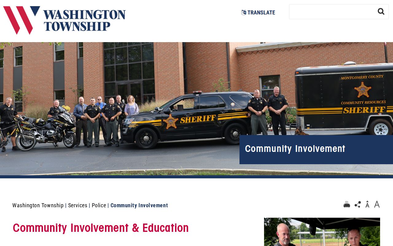
The public community resource can help a Washington Township resident seek the appropriate program information without guessing who belongs to a group. For a particular historical community reference, use a dated library or historical-society source and retain its edition or publication date.
Township Police Community Involvement
Official information about community involvement and Neighborhood Watch.
Note: Community program information identifies a public service channel without identifying who lives on a Washington Township block.
Washington Township Neighbor History Clues
Historic aerials and local-history sources add a dated physical layer to a Washington Township block. The County Engineer's historic imagery program reaches from 1938 forward. Its 1938-1995 material is scanned and georeferenced, while later imagery is orthorectified. Compare a deliberately dated image with a tax duplicate, plat, or permit request to investigate a visible change in roads, lots, or structures.
An aerial can show physical change, not people. A library or Records Center source may supply a historic directory, newspaper, map, or archive clue, but it must stay tied to its printed date. The Records Center uses staff retrieval across more than 47,000 indexed record locations, so a request should include the full name, record type, and relevant date range rather than a broad request for all people on a block. Washington Township historical work can also encounter Centerville, Dayton, Woodbourne, township-section-range, or plat-and-lot wording. Reconcile those forms through the legal description rather than assuming they point to the same modern address.
Washington Township Neighbor Lookup Privacy
Official parcel records and unnamed commercial neighbor tools serve different purposes. A public office provides a specific source, role, and record date that can be checked with the custodian. A commercial tool may group information from different periods and sources, so it cannot replace a recorded plat, a tax record, or a current official lookup. Do not use either type to infer occupants, publish contact details, or assemble a personal dossier about Washington Township neighbors.
| Source type | Useful for | Do not treat it as |
|---|---|---|
| Official parcel and Recorder records | Dated property roles and recorded documents | A household or contact roster |
| Official GIS and imagery | Parcel and physical block context | A survey or occupancy evidence |
| Commercial neighbor tools | A lead requiring independent confirmation | An authoritative current record |
Ohio's Public Records Act, R.C. 149.43, allows inspection and copying subject to exemptions and redactions. The Safe at Home program, R.C. 111.42, protects qualifying address information. Protected, sealed, or confidential material is not an invitation to search for alternate ways around the restriction.
Note: For an immediate safety concern, contact the appropriate emergency or non-emergency authority rather than collecting identities from parcel and address records.